eagles for breakfast, seals for lunch, stinging nettle for dinner

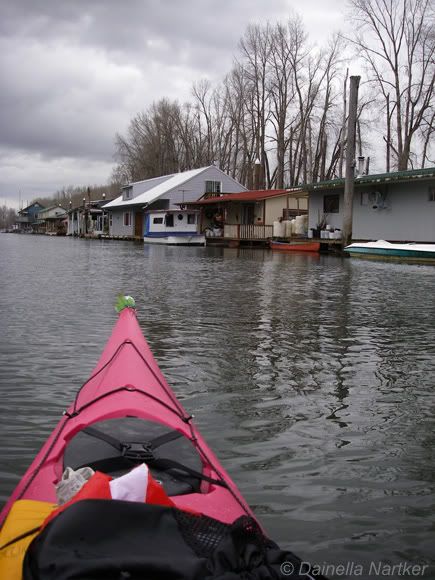
It all started with an email from Dainella - “I’m getting ready to leave Antarctica, and want to do a river trip!”. After going through a few options, we settled on paddling the lower Columbia from Beacon Rock to Astoria. We pulled together maps, tide tables, and older trip reports.

I also started fishing around for gear, and was lucky enough to borrow a Necky Looksha 17 and Eliza, along with some other great gear. Our biggest challenge looked to be the weather. We were going in late February, and expecting to spend a week in the rain. Through a flurry of emails and phone calls, the details started coming together. What we didn’t expect was a foot and a half of snow three weeks

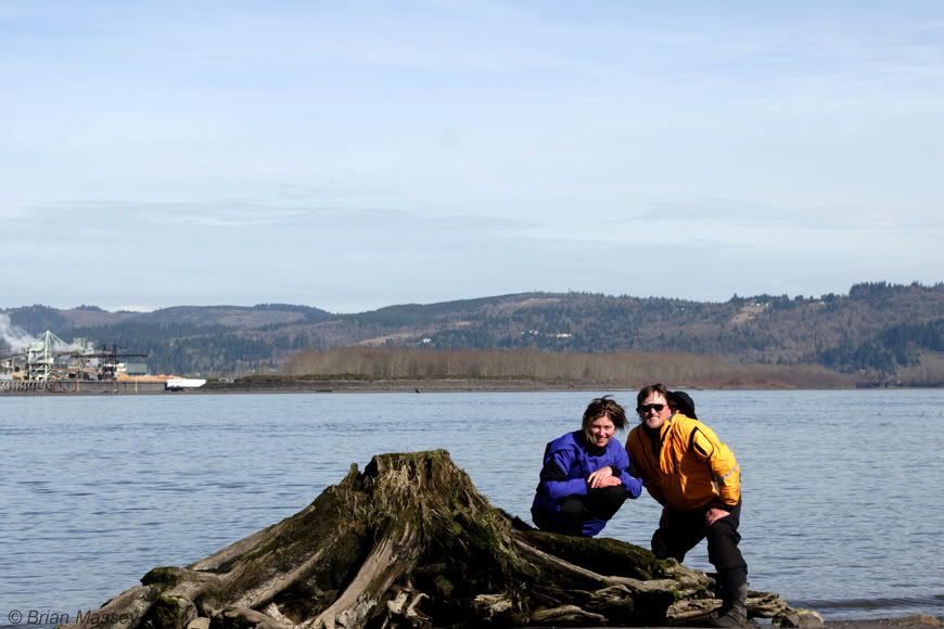
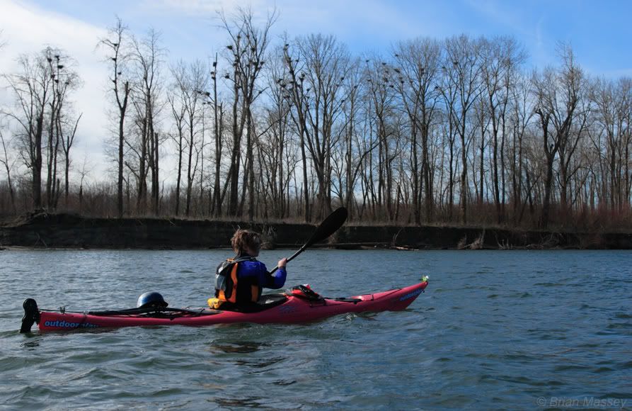
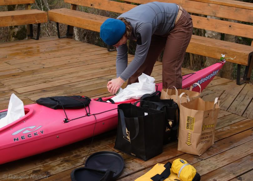
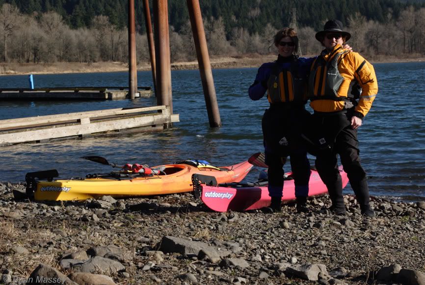
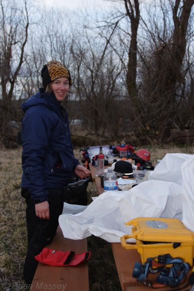
before the trip! We started looking at alternate plans, but a lucky warm spell followed the snow, and we were suddenly looking at minimal rain and temps in the mid-50's. Keeping our fingers crossed the weather would hold, we started packing up. Dainella arrived the night before, and we loaded our boats. I couldn’t believe how much gear they’d hold. Like a real-life game of Tetris, we moved bags in and out until everything disappeared. Saturday morning arrived chilly and clear. We headed to Beacon Rock, where Rocio & Yuvia dropped us off. We packed up everything again, took a quick departure picture:

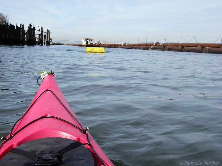
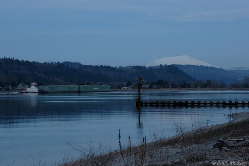
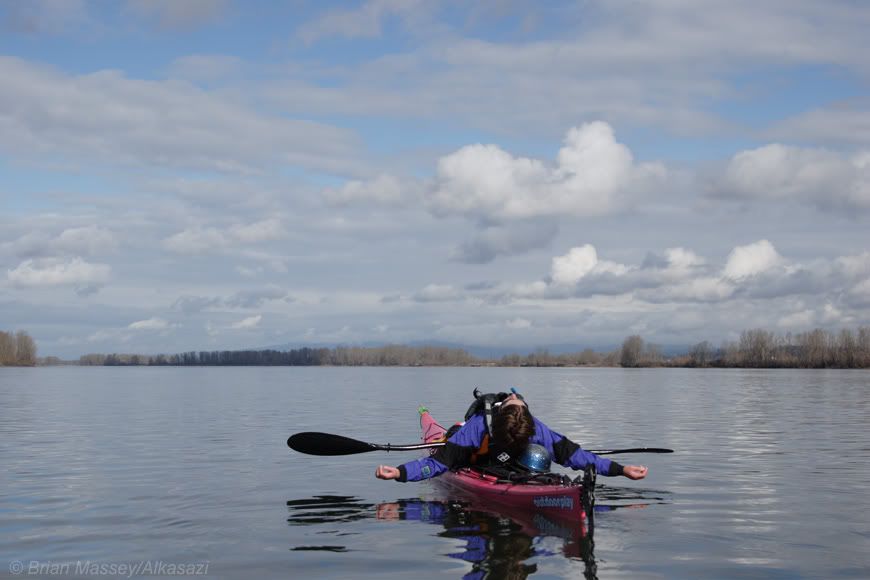
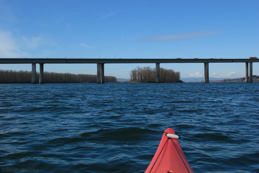
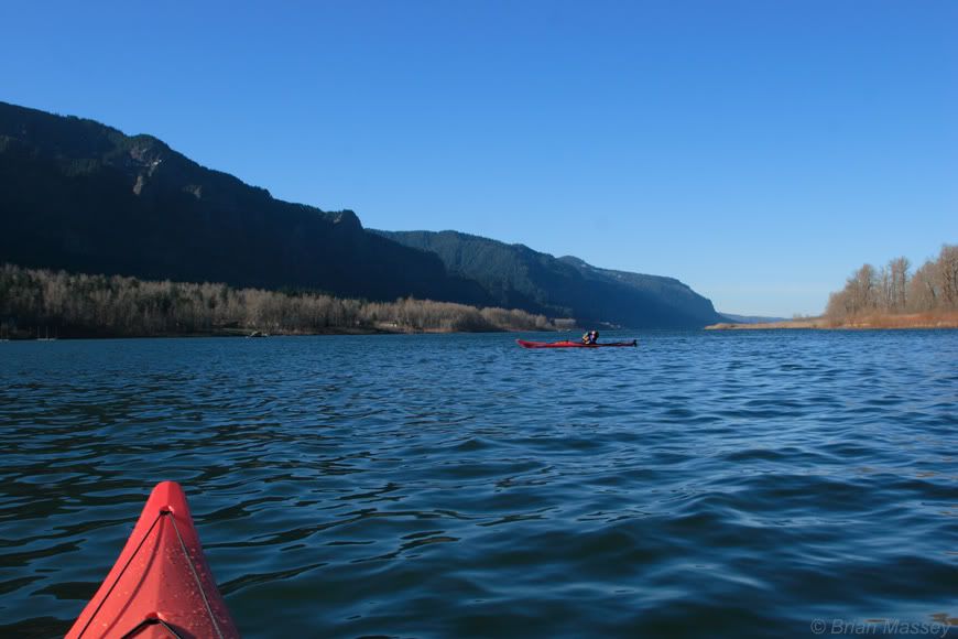
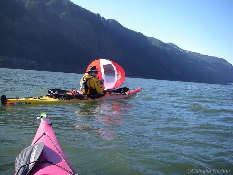
and headed off. We slid out of the inlet, and were greeted by a passing barge and a downstream wind. After getting settled into the boats, we pulled out the sails we’d borrowed from WindPaddle. Neither of us had sailed before, and didn’t know what to expect.

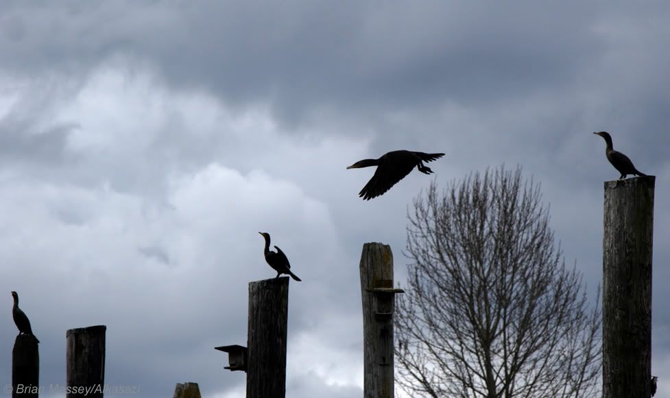
These things are a blast! They didn’t take long to get the hang of, and after a bit we were cruising downstream faster than we could ever hope to paddle. Two bald eagles flew overhead as we headed past Franz Lake. The wind kept building as we headed downstream. At one point, I went to move around a log, only to realize it was a seal munching on a breakfast fish. From Phoca Rock to Cape Horn we had 1-2' wind waves. As our confidence with the sails built, we were able to move across the wind more and more, instead of straight downwind.

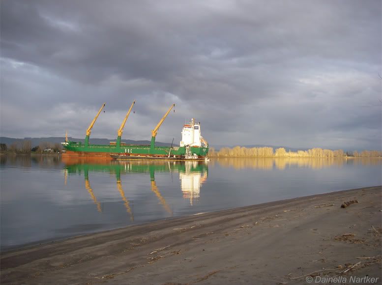
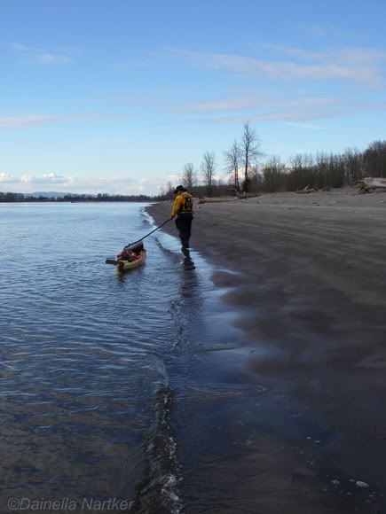
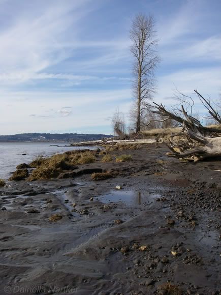
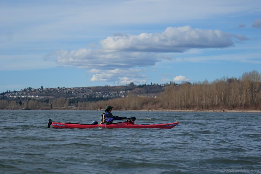
The cliff of Cape Horn were impressive. Waterfalls poured down in the midday sun. I tried to move closer in, but a Coat Guard cutter came through the ship channel at the same time. We covered about 13-14 miles in just over 3 hours, and stopped at Rooster Rock for lunch. Afterwards, we headed out again. We only had a few miles to go until Reed Island, our first camp for the trip. Unfortunately, I snapped a rudder cable, so I put away my sail and paddled on toward the island. We floated along the southern side of Reed, pulled into the camping area, and hiked around the island for a bit. The access is a 6' cut bank, with several campsites with fire rings and picnic tables. We noticed Cottonwood Park on the Washington side,

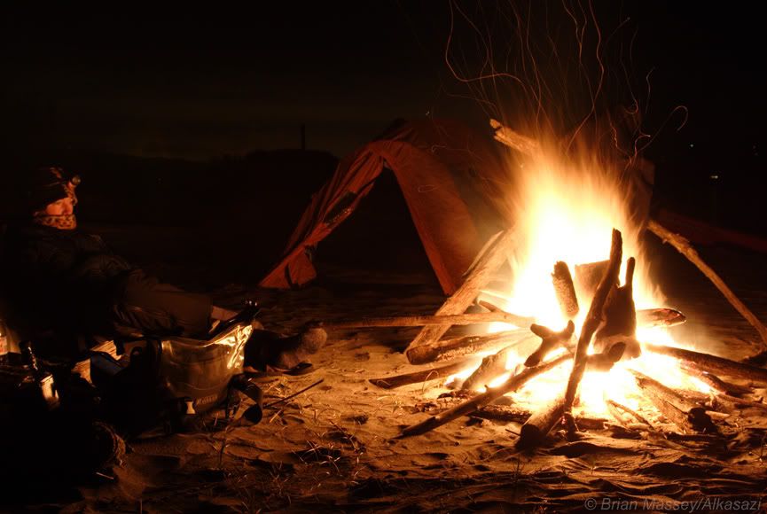
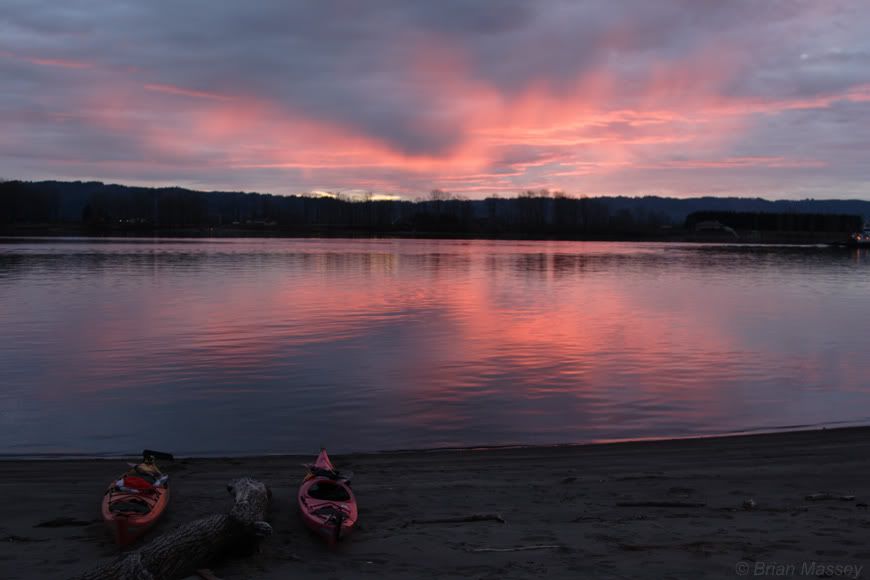
and paddled over there to check out other camping options. It turned out to be day-use only, so we headed back over to Reed, and pulled our gear and boats up the wall. Clouds slowly built as we set up camp. I quickly discovered a stinging nettle-like plants covering a lot of the campsite. Ouch. After dinner, Dainella showed me the Canadian broom hockey

trick for starting a fire. We settled in to watch the damp wood smolder, then headed off to bed. A light rain began to fall as we drifted off to sleep.
Next: Jet-fueled wake-up call