Thursday, July 03, 2008

More kayak fishing on Rock Creek
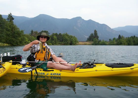
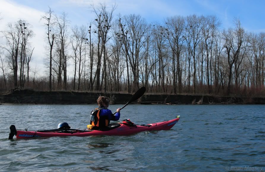
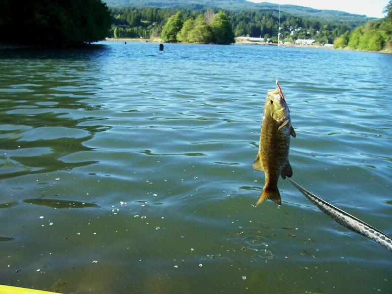
Well, the folks came into town for the 4th festivities, so we headed back to Rock Creek yesterday afternoon. A bit windy, but after the 90+ degree temps in Hood River, it was just nice to be on the water. Not much luck to start, but as the sun headed to the horizon, I hit on an 11" smallmouth:


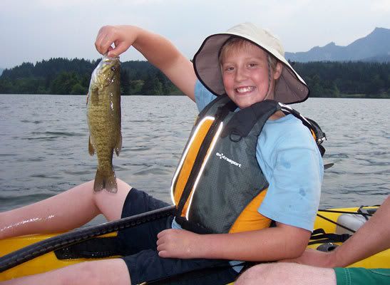
A little while after that, I look over to see my son pouring his water bottle in his lap. Turns out he caught a bass, and the line broke right as he hauled the fish in, so it was flopping around in his lap. He couldn't get hold of it, so he tried to keep it wet until I could paddle over:


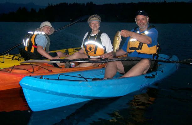
It was the first fish he's caught out of a kayak, so he was pretty happy. Then, as we were heading back in, my dad caught one in the fading light, making it a clean sweep for us on the afternoon:

Monday, June 30, 2008

Kayak Fishing at Rock Creek

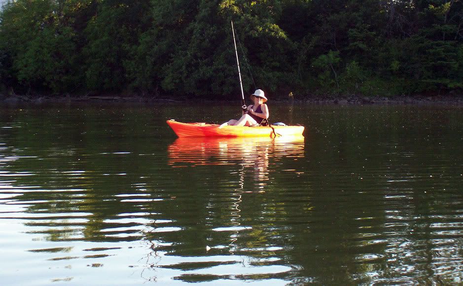
Been fishing a couple of the nearly lakes (actually backwaters of the Columbia) for bass the last week. We hit Ash Lake last Sunday. I had a strike on the first cast, then nothing for neither my son nor I the rest of the afternoon. Wednesday we fished Rock Creek, and both had a bit of luck. He had one hookup that spit the hook when it jumped, and I caught a decent smallmouth. Friday night we went again, but no luck. Perfect temps, so we ended up floating until dark. Saturday afternoon I took my girlfriend and another friend paddling, and took a couple poles along just in case. Only one bite all afternoon, but it was enough:


Couldn't have asked for much better weekend. We had a blast just floating around, casting & relaxing


Hope this weather keeps up!
Wednesday, May 28, 2008

Lower Columbia River Trip - Day 6

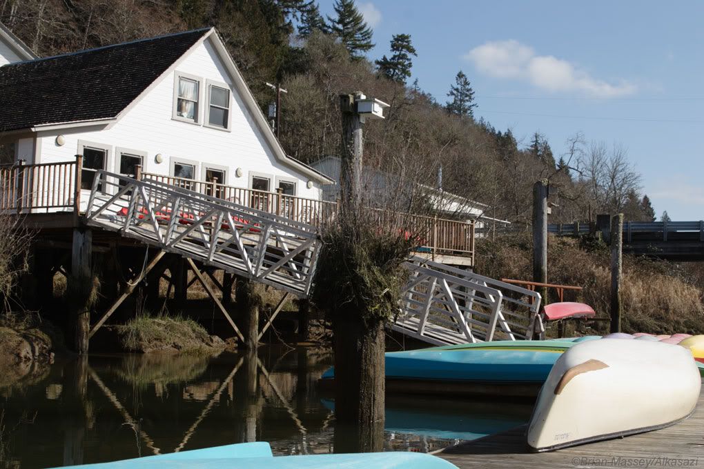
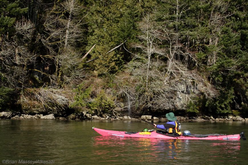
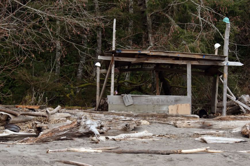
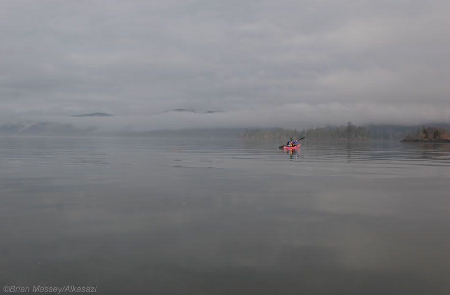
We woke this morning to a slowly lifting fog. We packed up camp, then enjoyed a quiet paddle behind Price Island into Skamokawa Slough. We’re not sure what the outer side of Price Island looked like, but the inner shore offered nothing for camping, making us even happier with our campsite choice of the night before. As the sun came out full force, we arrived at the docks of Skamokawa Kayak Center (www.skamokawakayak.com). The friendly folks there went over our maps with us, pointing out potential camping downstream and walking us through the tide tables. We then resupplied at the small store in front of the shop, including oysters and beer for lunch. After a pleasant snack n the warm sun, we crossed over to the campground to fill our water jugs, then headed down the Washington coastline. Impressive cliff walls and trees filled out view. We stopped for lunch at a small side creek, and hiked up to check out a series of waterfalls. Dai took the opportunity to freshen up in the stream, and ended up putting on a show for a passing freighter. Meanwhile I sat down on the beach, nursing a beer and soaking up the warm sunshine. Continuing on, we noticed most of the trees’ lower limbs were pruned to a consistent height due to the tides. One large tree had enough room to sit under the lower branches, and peer back upstream. There was a strong power underneath the overhanging limbs, and I sat for a while reflecting back on what we’d experienced over the last several days. Just downstream a spring tumbled off the cliff face, allowing us to paddle underneath and refresh ourselves again. The warm sunny weather continued. As the tide began to change, we detoured into Jim Crow Creek. Once again the banks closed in on us, changing our miles-wide vistas into a narrow, twisting channel. In near-complete silence we floated along with the rising tide. Eventually the current of the creek stalled us out, and we headed back downstream to the Columbia. As the high clouds moved in, and the wind began to rise, we headed toward camp, just downstream on Jim Crow Beach. It was recommended to us by the guides at Skamokawa, and showed signs of frequent use in the summer, including a couple of semi-permanent wood structures. We checked out the sketchy fishing flophouse, but elected to spend another night in the tent, and use the lemonade stand to hang out gear for the evening. I gathered wood for the campfire while Dainella cooked dinner. Listening to the weather report on our VHF radio, we heard of an incoming storm, including the possibility for snow in the Gorge over the weekend! Unbelievable after the mild weather of the previous week, but two weeks prior to our trip, we were knee-deep in snow. As we reminisced on the past week, we realized just how lucky we’d been, not only with the weather, but virtually every part of our trip. Every moment had been spectacular, and while we were excited to reach our destination on schedule, anther part of me wanted to head out through the Columbia Bar, turn south, and keep going. Maybe another time.


Next up - Damnation & Salvation: How to hang on until the bitter end.

Tuesday, April 22, 2008

Lower Columbia River Trip - Day 5

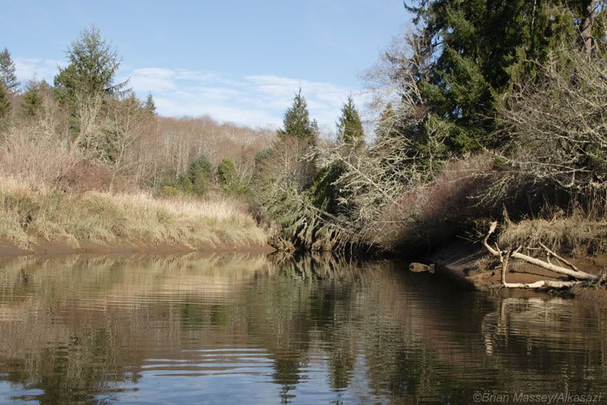
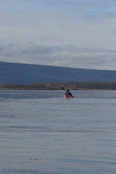
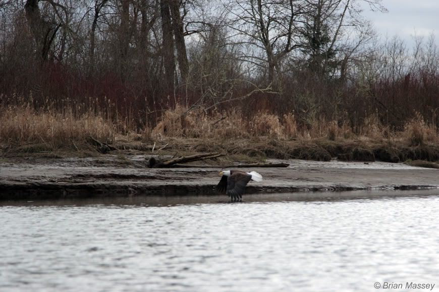
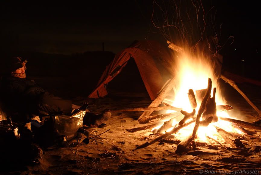
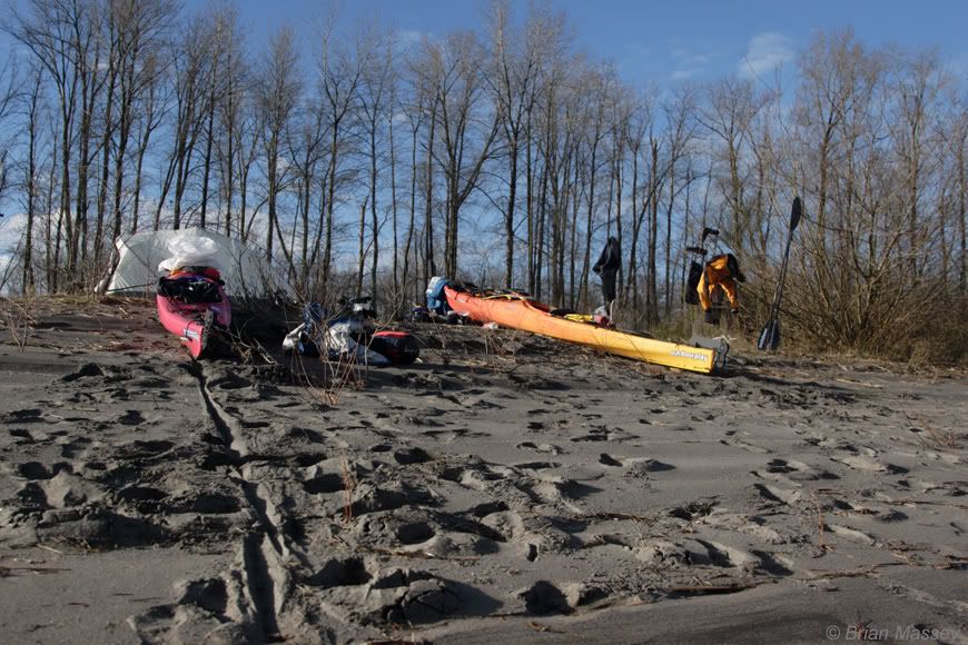
Plenty of sunshine to start the day off right. We took it easy dried our gear out a bit, and took off for our second Cape Horn of the trip. This passage was much more mellow than the first, with glassy conditions and warm sun. We stopped at County Line Park for a stretch. It was a nice little roadside campground with water and bathrooms. After refilling our jugs we continued downstream. It was warm enough to paddle in just a rash guard, and we enjoyed the sun as we headed down to Puget Island. The clouds and wind came back just as we stopped for lunch, so we geared back at a protected little beach as we ate beef jerky and crackers. Continuing on, we passed underneath a bridge, and came upon the marina at Cathlamet. For some reason it reminded me of the Russian marinas I’d read about in a Jon Turk novel, with an older, industrial feel. Then a shiny new Chevy pickup pulled out and drove away, and my eyes drifted up to see the more conventional American town behind it. The funky riverside tavern was tempting, especially with camping just around the corner, but it was just too early in the day to stop. Instead we rounded the bend into Echoloman Slough. Immediately the banks closed in around us. The water was low enough we had to push ourselves along by hand at times, and we wondered if we’d end up turning around. After sliding over one particularly shallow point, thing began to channel back up, and we had enough water to paddle. A few twists and turns later, a bald eagle flew directly over my left shoulder chasing a duck. They flew over a low berm, and I could see the eagle looping and diving. A flock of small birds joined in, circling with the eagle. As I paddled around the corner, I watched the eagle continue patrolling, but I couldn’t find the duck. All of the sudden it resurfaced, and the eagle dove at it. This cycle repeated itself several times, until the eagle finally gave up and flew downstream. We’d just watched the most incredible bird show of my life, all from 30 feet away in my kayak. After a bit more oohing and aahing, we continued on, and popped out of the slough a short while later. We’d planned on camping at Price Island, but looking downstream at it, couldn’t see any obvious camping sites. We’re camped instead on a low spit of land on the downstream end of the slough. Birds hunt the wetlands to our left, while seals fish the Columbia on our right. It’s an incredible view point, and maybe the local makeout spot as well. We can see tire tracks in the sand, and a nice driftwood amphitheater has been built around the fire pit. Dainella whipped up a double dinner while I set up the tent, and we feasted like royalty in the setting sun. Now we’re siting around our driftwood fire with drinks in hand, listening to the river roll by. In the morning we’ll stop in Skamokowa to resupply and get info on camping. Then we’ll make our final westward turn and head toward the ocean!


Stay tuned, we'll be right back

Sorry for the delays on the second half, there's been a succession of life events. I'm working on them now, and we'll finish up the trip.
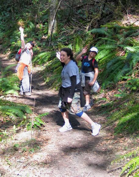


on walkabout. Spring Break at Gillette Lake, WA.

Monday, March 24, 2008

Lower Columbia River Trip - Day 4

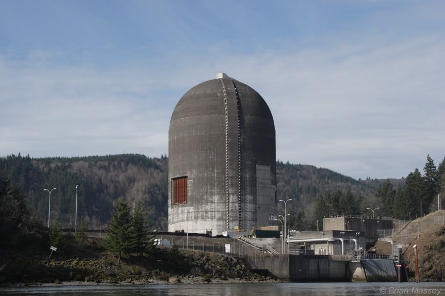
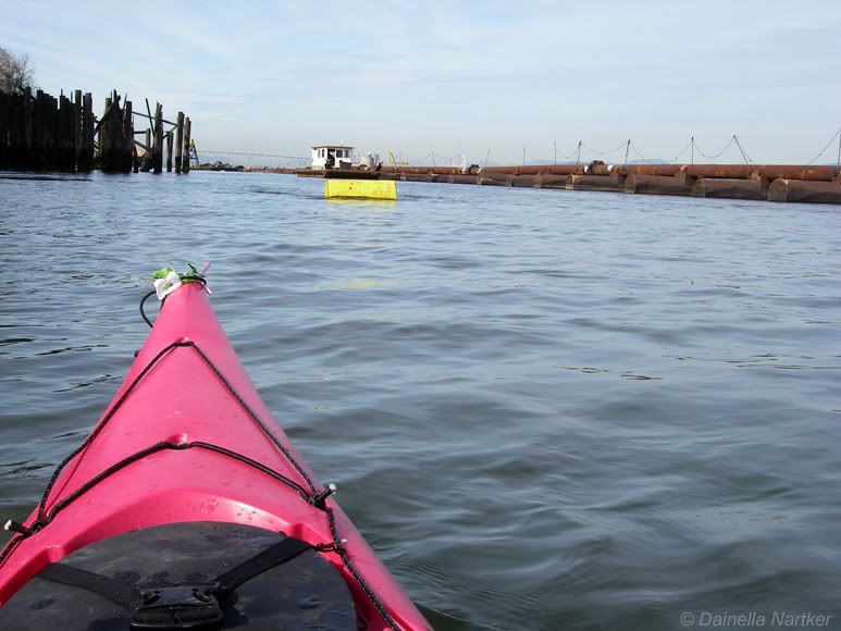
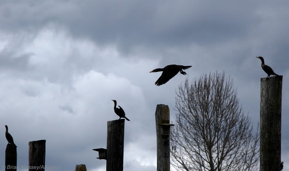
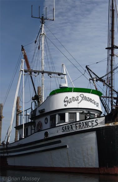
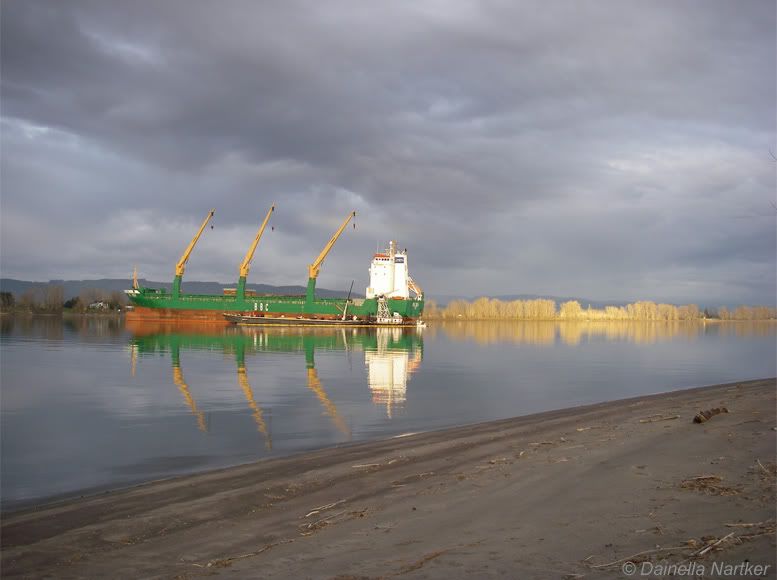
The foghorn of a passing ship provided this morning’s wakeup call. I stumbled out of the tent to a pre-dawn pea soup, decided we’re not going anywhere quickly this morning, and crawled back into the tent for more sleep. We got up about an hour later and began packing as the fog lifted. We enjoyed a slow paddle down through Goble slough to the marina. We tied up to the rundown dock on the upstream end, and set off to find the Goble Tavern. It may be a little early in the day, but as a wise man once told me, “It’s noon somewhere”. Besides, we'd seen pictures on the Lower Columbia web site, and it looked right up our alley, even at 10am. Stopping in the marina store for directions, we encountered the owner sitting in a chair by the door listening to Jesus on the radio. After poking around for a bit, we talked with the man and found out the tavern was sold over the winter. The new owners are remodeling, so no luck. The next choice for refueling was down the way in Rainer so we headed back to our boats. The sun made its way out and we enjoyed the warmth. After admiring one nice little pocket beach, we came around a rock outcrop to a huge concrete tower with horrible grinding and booming noises. Unsure exactly what we were seeing, we nervously dubbed it the Tower of Doom, and quickly headed downstream. We found out later this was the remains of the Trojan Nuclear Power Plant. Things got even more fun as we rounded the bend toward Rainer, and found large pipes covering most of the river. With no signage or people around, we slid along the left bank past all the piping, and popped out on the edge of Rainer. Seeing a red-tiled roof from the river, we hopped out on a beach, then wandered into the Tapatio Mexican restaurant. Since we were still dressed in our paddle gear, we got a few strange looks for the staff & customers - “Are you out on a motorcycle ride?” After a filling lunch, we continued downstream, passing under the Lewis and Clark bridge. We saw a lot of seals, and Dai took to barking at them trying to keep their interest. We made great time, and passed up camps on Lord and Walker islands. Mid afternoon took the scenic route through around Fisher Hump, going past another funky collection of houseboats. The end of Fisher Hump has great park, particularly in the warm afternoon sun, but they don’t allow camping. I also found a sign explaining the pipes at Rainer - they are dredging the Columbia and the Cowlitz river mouth. The pipes were part of the dredge operation. Might have been nice to catch a notice on that upstream. Oh well. Leaving in the wake of a passing fregither, we cruised down to Crims Island. After a bit of searching, we found a nice campsite with a great view of Mt. St. Helens. As we headed into shore, large flocks of geese created a rolling thunder taking off and landing.
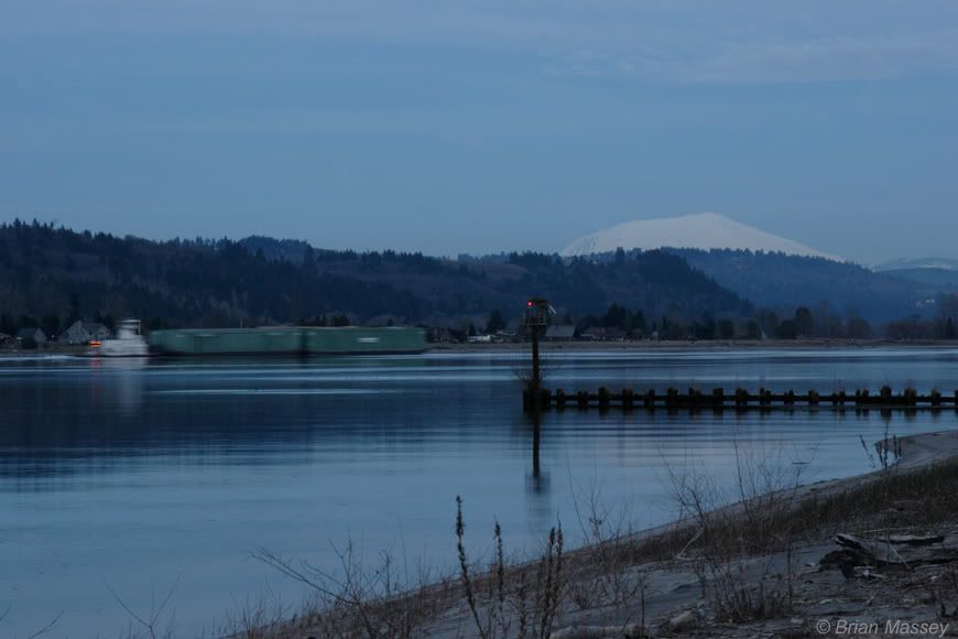
Soft pinks and purples filled the sky as we ate dinner and watched the darkening mountains. 26 miles, good day.

Next up - Eagle vs. Duck, live from the Elochoman Slough
Monday, March 17, 2008

Lower Columbia River Trip - Day 3


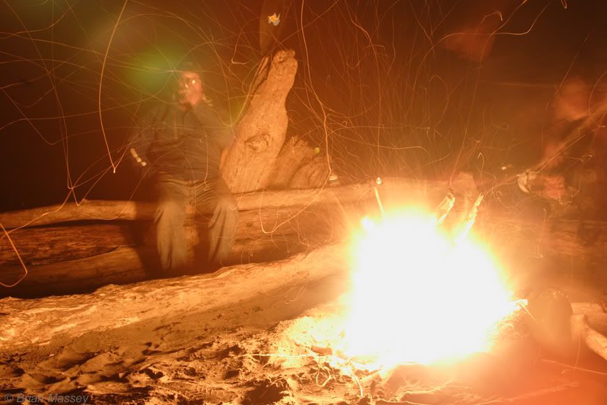
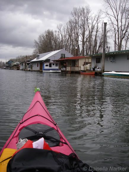
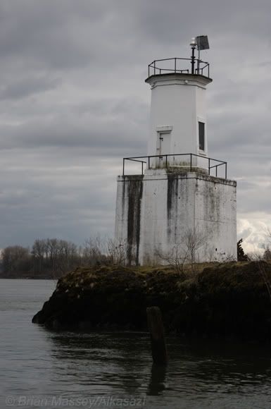
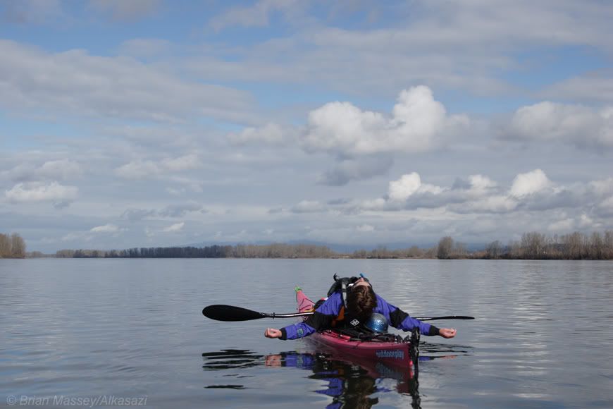
The freighter offshore has a containment boom being put in place around it. I hope this is just a precautionary measure, because we’ll be on the water within the hour. This morning’s been a mixed bag. It started with a bit of rain, but now the sun’s coming out and I’m down to just my fleece. We sit in camp watching the sun on the water, then start packing everything up. Brief stop just downstream at Columbia Lowlands Park to refill on water. It wasn’t until coming back to the boats that we saw the sign say no access from the river. Oops. Downstream the view becomes more rural as the river broadens and sweeps northward. We amuse ourselves by slaloming through moored freighters, then detour into Caterpillar Slough. A collection of funky houseboats is around the corner. They run the range from half-sunk to a neatly painted gingerbread lookalike called the Chocolate Mint. Another is for sale for 65K, but I can’t help wonder how long the wood pontoons will keep it afloat. At the end of the slough we pass an a bald eagle sitting in a tree, and seals fishing off the tip of Caterpillar Island. We continue downstream under clearing skies, enjoying the sweeping views. After a sunny lunch, we slip into Bachelor Slough. It’s another river entirely, only a couple boat lengths wide, and barely deep enough to float in spots. Quite a change from the water highway we’ve been on. Slipping out of the slough, we hit the Lewis River confluence on our right, and Warrior Point on our left, with a great view of the town of Saint Helens downstream. We stop on the beach at the Warrior Rock Lighthouse for a stretch, then head down past Saint Helens and Sand Island. Although the thought of an early stop at the campgrounds of Sand Island is tempting, we decide to make a few more miles to Goat Island. Unfortunately the southern end of the island was fairly trashy, including a wide selection of flip flops (I don’t know it at the time, but this will start a trend for many of our stops). We try to make the best of it, neither of us are really stoked on the sites, and keep poking around. We end up sliding around the corner to a nice spot on the east side, just downstream of a couple of fishing shacks. After setting up camp I wonder over to the nearest one. It’s nicely kept up, with blankets covering the door, a stack of chairs, and other essentials. A calendar on the wall is set to the right month, so I wonder over for a closer look, and find notes for Saturday night - “Denny killed everyone, crazy 85". Either we missed a heck of a party, or a few fisherman were missing come Sunday morning.....back down the beach Dainella’s whipping up dinner. We discover pudding doesn’t set up right without milk, but the gooey bag of chocolate goodness we get instead still tastes pretty darn good. Maybe it’s just the 24 miles we covered, but both of us keep going back for more. Afterwards, we sit around a roaring drifwood campfire, and watch Orion, the Big Dipper, and Pleiades in the night sky.

Next up - Indiana Dai & the Tower of Doom
Wednesday, March 12, 2008

Lower Columbia River Trip - Day 2

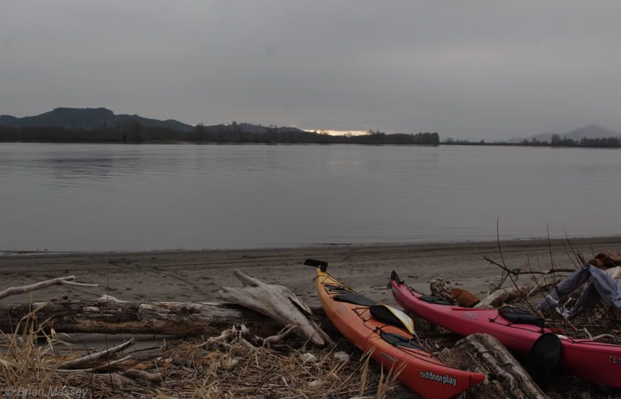
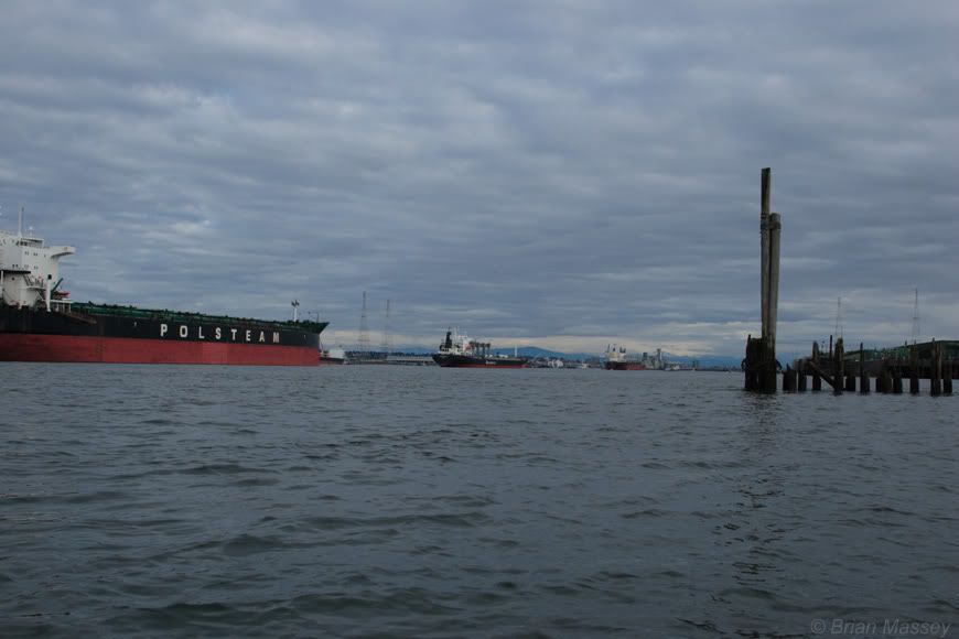
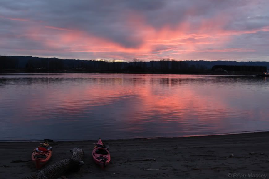
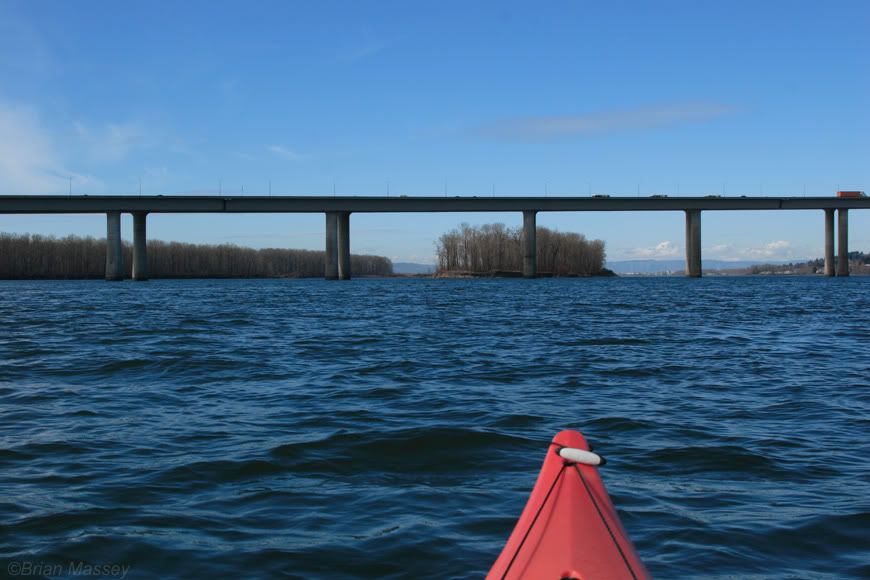
We woke to jets taking off from Portland, and the moon setting over the Sandy River delta. The clearing skies and calm wind made for a promising day, so we shook the rain off our gear and ate scrambled eggs on pita for breakfast before heading out. Heading downstream from Reed, we passed Cottonwood Point again, then the Camas marina. The on-water cafĂ© was tempting, but the early morning calm was too good to pass up. We started to head into the Camas slough, then realized it would take us under Highway 14 and by the paper mill with all its lovely smells. Lady Island was a much more peaceful alternative. We paddled along the south shore, and noticed other potential camping spots. The paddle into Portland was uneventful. Plenty of jet boats with fisherman, but little traffic otherwise. We stopped at Government Island for a rest break, and checked out the yachts moored in the marina. One even had a couple of kayaks strapped to the bow. After a couple more miles, I realized I’d forgotten to refill my water jug. We stopped at the top of a small island, then pushed on into Portland. The airport slid by on our left, and jets on approach flew directly overhead. We headed toward Alder Creek and a replacement crimp for my rudder cable. Rudder parts would of course be the only thing I left out of the repair kit, and the only thing we needed the whole trip. After finding the right spot in the maze of marinas, we walked into the shop, and realized even in a kayak shop, you get strange looks when you’re dressed in paddle gear. We found Dave Slover, and he hooked us up with what we needed, as well as advice on camping for the evening. Thanks, Dave! We sat on the dock eating lunch, and talking to the man in the sailboat next to us. He grilled up salmon, and we talked about fishing down in Astoria. I’m not sure if he leaves his boat all that much, and I’m not sure I blame him. If you have to live in the city, a sailboat wouldn’t be a bad place to be. After leaving Alder Creek, we continued down Tomahawk slough, past an amazing variety of floating homes and boats. We slid under I-5 and past the Jantzen Beach sprawl, into the less developed end of the slough. After the marinas, bridges, and homes of the first part of the day, the calm was a nice change. Soon enough, though, the towering loading docks near the end of the island gave us our first clue things we about to change. We came around the corner, just downstream of the Portland shipyards. The change in dynamic was intimidating. We stopped next to a moored set of barges (coincidentally, one had passed us on Saturday), and stared at the oceangoing freights lined up to load and unload. After making sure nothing was immediately going to run us over, we sprinted across to the Washington side, and made our way downstream. Directly across from the confluence with the Willamette, we found a large sandy beach with a couple of different campsites. We headed toward the downstream end, and found a great spot with a couple of large driftwood logs for seats. We set up camp, and hiked up behind to a great view of Mount St. Helens catching the afternoon sun. A large tanker anchored offshore, but other than one ringing boom, it’s stayed quiet. The view from camp had a split personality - across and downstream, we were looking into a semi-rural setting. Upstream was a sea of lights and ships. It made for an interesting comparison, and seemed to sum up much of what the Columbia so far. Every bend in the river so far has brought a different view, and even though the paddling is mellow, the anticipation keeps our interest up. After a multi-hued sunset, we spent the evening watching the lights on the water, talking of caves and other adventures. Turning in early, we wonder what tomorrow will bring. We’ve covered a little over 40 miles in the first two days. Tomorrow we’ll start making the bend to the north, and see what lies downstream of Portland.
Next - Crazy 85 and the smell of burning driftwood

Tuesday, March 11, 2008

Lower Columbia River Trip - Day 1
eagles for breakfast, seals for lunch, stinging nettle for dinner


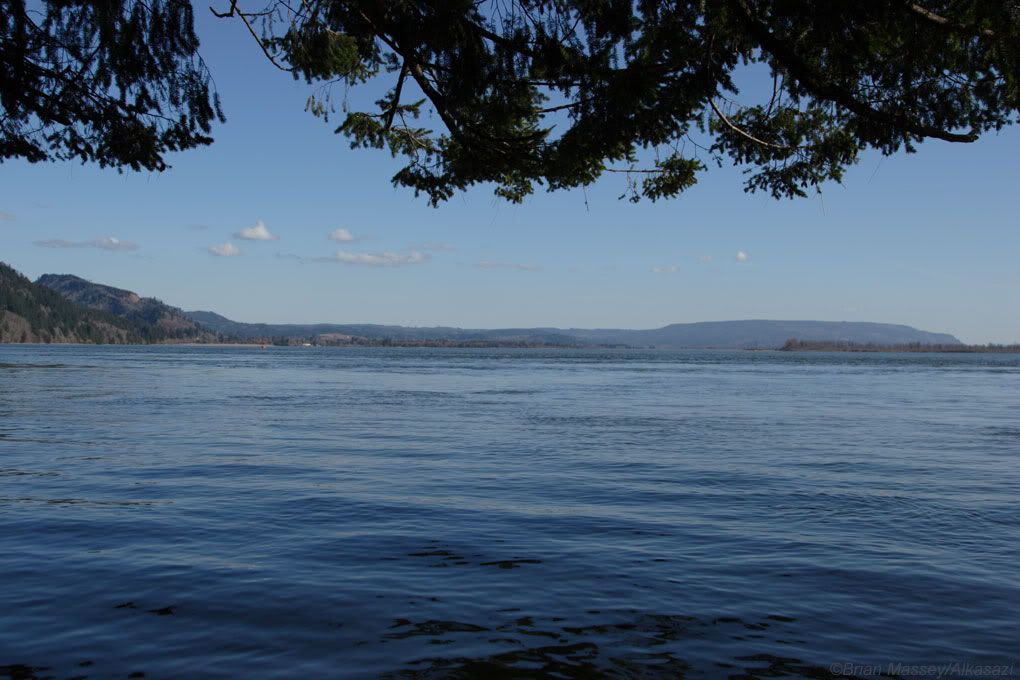
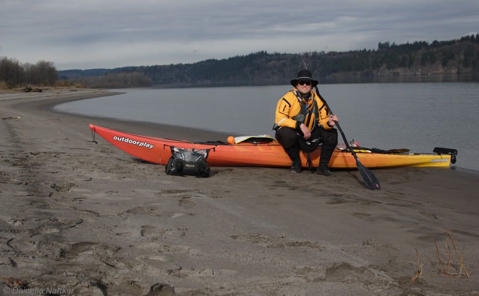
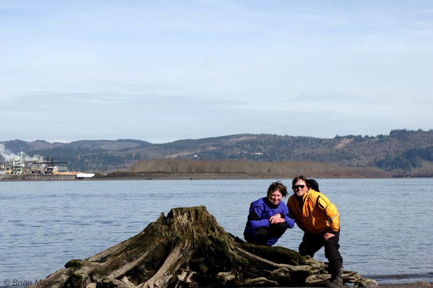
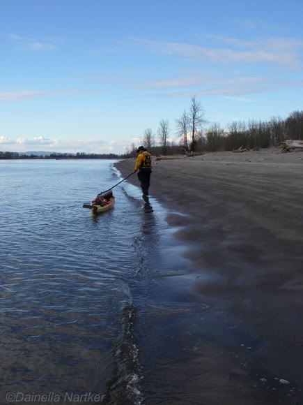
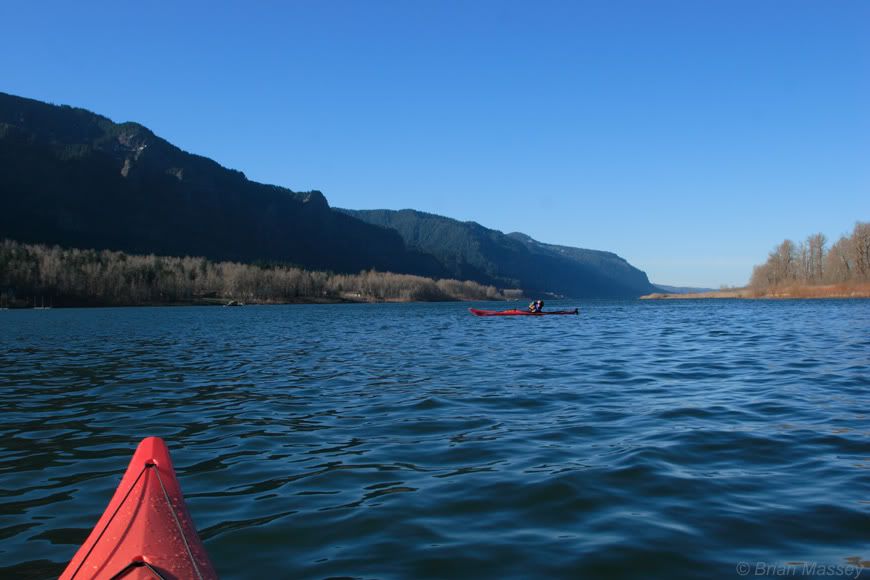
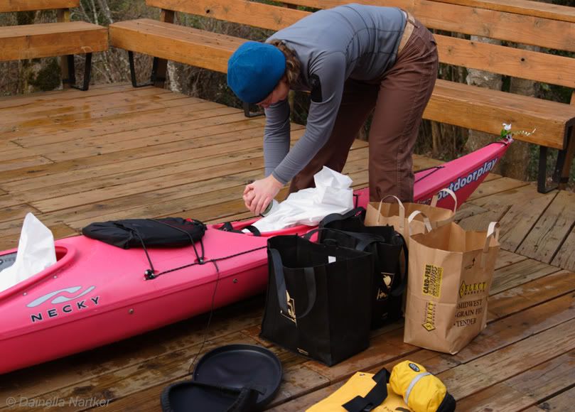
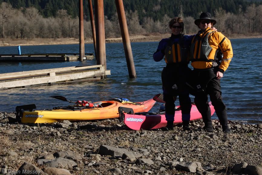
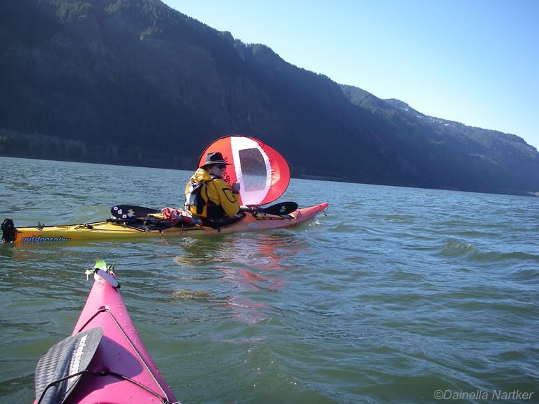
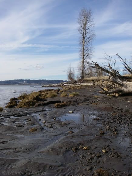
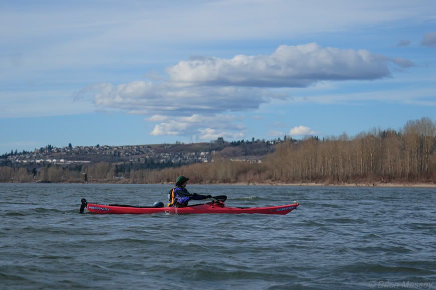
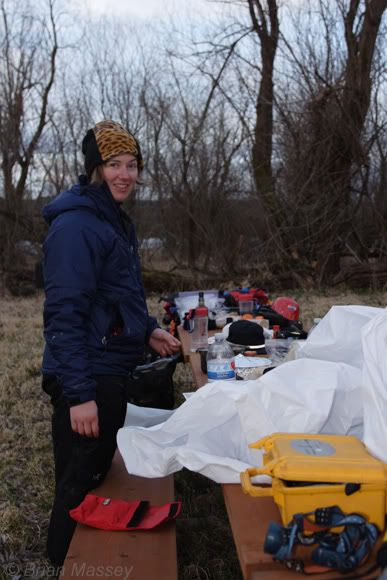
It all started with an email from Dainella - “I’m getting ready to leave Antarctica, and want to do a river trip!”. After going through a few options, we settled on paddling the lower Columbia from Beacon Rock to Astoria. We pulled together maps, tide tables, and older trip reports. I also started fishing around for gear, and was lucky enough to borrow a Necky Looksha 17 and Eliza, along with some other great gear. Our biggest challenge looked to be the weather. We were going in late February, and expecting to spend a week in the rain. Through a flurry of emails and phone calls, the details started coming together. What we didn’t expect was a foot and a half of snow three weeks before the trip! We started looking at alternate plans, but a lucky warm spell followed the snow, and we were suddenly looking at minimal rain and temps in the mid-50's. Keeping our fingers crossed the weather would hold, we started packing up. Dainella arrived the night before, and we loaded our boats. I couldn’t believe how much gear they’d hold. Like a real-life game of Tetris, we moved bags in and out until everything disappeared. Saturday morning arrived chilly and clear. We headed to Beacon Rock, where Rocio & Yuvia dropped us off. We packed up everything again, took a quick departure picture: and headed off. We slid out of the inlet, and were greeted by a passing barge and a downstream wind. After getting settled into the boats, we pulled out the sails we’d borrowed from WindPaddle. Neither of us had sailed before, and didn’t know what to expect. These things are a blast! They didn’t take long to get the hang of, and after a bit we were cruising downstream faster than we could ever hope to paddle. Two bald eagles flew overhead as we headed past Franz Lake. The wind kept building as we headed downstream. At one point, I went to move around a log, only to realize it was a seal munching on a breakfast fish. From Phoca Rock to Cape Horn we had 1-2' wind waves. As our confidence with the sails built, we were able to move across the wind more and more, instead of straight downwind. The cliff of Cape Horn were impressive. Waterfalls poured down in the midday sun. I tried to move closer in, but a Coat Guard cutter came through the ship channel at the same time. We covered about 13-14 miles in just over 3 hours, and stopped at Rooster Rock for lunch. Afterwards, we headed out again. We only had a few miles to go until Reed Island, our first camp for the trip. Unfortunately, I snapped a rudder cable, so I put away my sail and paddled on toward the island. We floated along the southern side of Reed, pulled into the camping area, and hiked around the island for a bit. The access is a 6' cut bank, with several campsites with fire rings and picnic tables. We noticed Cottonwood Park on the Washington side, and paddled over there to check out other camping options. It turned out to be day-use only, so we headed back over to Reed, and pulled our gear and boats up the wall. Clouds slowly built as we set up camp. I quickly discovered a stinging nettle-like plants covering a lot of the campsite. Ouch. After dinner, Dainella showed me the Canadian broom hockey trick for starting a fire. We settled in to watch the damp wood smolder, then headed off to bed. A light rain began to fall as we drifted off to sleep.
Next: Jet-fueled wake-up call

Tuesday, December 19, 2006
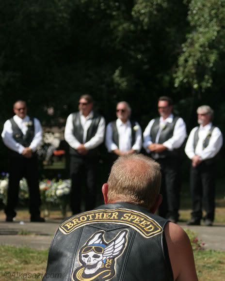


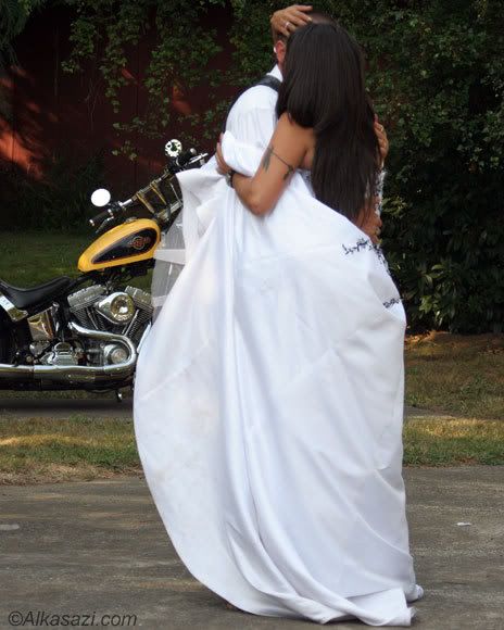
It's cold as hell, and another storm just blew there (thereby making room for the next storm). It's time to look back over the summer. These shots are from a wedding I went to this summer. Normally I'll do most anything to avoid a wedding, but it's hard to resist "Hey, wanna go to a biker wedding?" As I get older, I'm finding there's fewer things I haven't done, so why not?
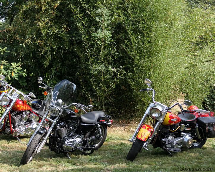


The wedding was down the road in Washougal, at a handy little place called The Homestead. I didn't realize it at first, but the place used to be a bar, and is now available for event rentals. It's still fully outfitted with jukebox, pool tables, and barstools. It didn't take us long to drag in the cooler and make ourselves at home.
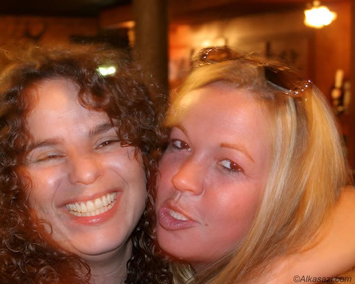


The wedding itself was fun. The bikes rumbling in was a fun experience. Lots of old friends catching up. no shortage of leather, making me feel like a tourist for one of the few times in my life.

Enjoy the pics. For the complete gallery, please visit http://www.alkasazi.com